Shipping quote request
We’ll calculate the shipping price as soon as getting your request.
Shipping quote request
We’ll calculate the shipping price as soon as getting your request.
You May Also Like
More from this Dealer
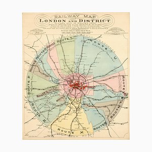
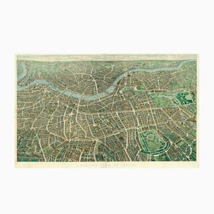
London's Railway Network, Late 19th Century
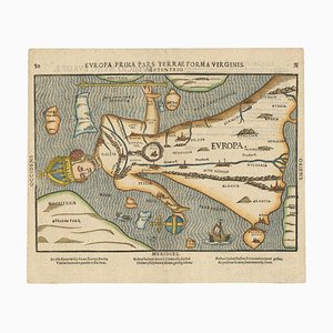
Map of Europe as a Queen from Buntings Itinerarium
The Famous Sea-Monsters Map of Iceland, 1595

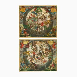
Antique Celestial Hemispheres Charts by Andreas Cellarius for Schenk & Valk, 1708, Set of 2
Map of the Netherlands with a Fine Maritime Cartouche by Enzo Mari

Antique Map of London by Gabriel Gualdo Priorato, 1675
16th Century Dutch Map of Cyprus, 1598

Panorama of Vienna Under Siege by the Ottomans

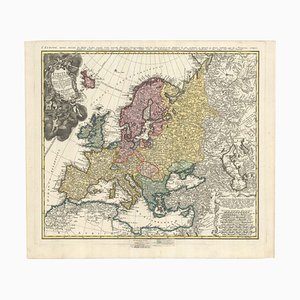
Mid-18th Century Map of Europe Showing the Spread of Religions
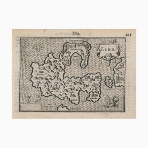
16th Century Miniature Map of Elba by B. Langenes, 1599
19th Century American Sea Chart of Hong Kong

Geological Map of England and Wales on Six Sheets, Set of 6

18th Century Map of Italy in Bright Colour

Pictorial Map of Wales

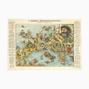
Italian Serio-Comic Map of Europe, 1871
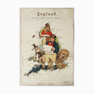
Caricature Map of England and Wales
Antique Balloon View of London Map As Seen from Hampstead by John Henry Banks for Banks & Co. & Effingham Wilson, 1851
The Famous Wonderground Map of London, 1920s

Vintage Tube Poster for Bond Street Station Chart, 1934

18th Century Maritime Explanatory Print

More Products


Get in Touch
Make An Offer
We noticed you are new to Pamono!
Please accept the Terms & Conditions and Privacy Policy
Get in Touch
Make An Offer
Almost There!
To follow your conversation on the platform, please complete the registration. To proceed with your offer on the platform, please complete the registration.Successful
Thanks for your inquiry, someone from our team will be in touch shortly
If you are a Design Professional, please apply here to get the benefits of the Pamono Trade Program