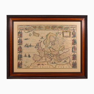
Vintage Reproduction of 17th Century Map of Europe, 1970s
You are now following Charts. You can manage alerts in your account settings.
You have unfollowed Charts.
Vintage Reproduction of 17th Century Map of Europe, 1970s

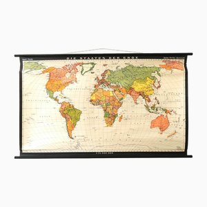
Vintage School/Teaching Card the States of the Earth by Haack-Painke for Justus Perthes Publisher, 1960s
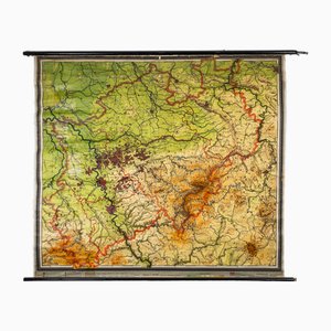
Charts of Physical Maps from North Rhine Westphalia NRW
Vintage School/Teaching Card Latin Source Script from Röhr Verlag, 1940s

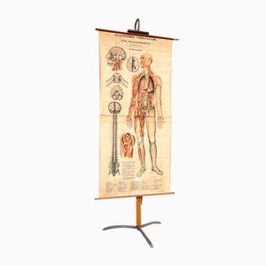
Nervous System Anatomical Wall Chart, Sweden, 1950s
Vintage School Wall Map by JRO, 1960s
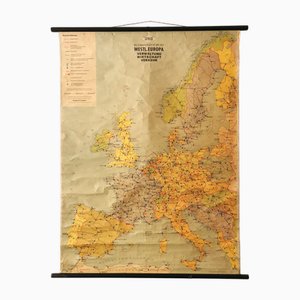
Large Vintage France Map, 1970s
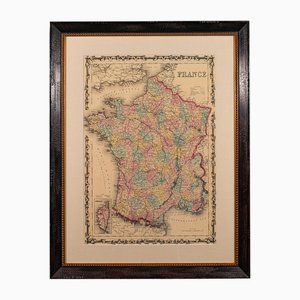
Vintage Teaching Card the Pim Family from Franz Cornelsen Verlag, 1960s
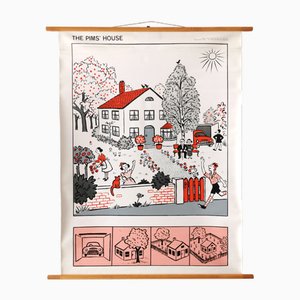
Charts of Maps from Ice Age Man
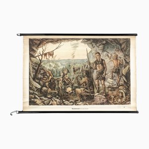
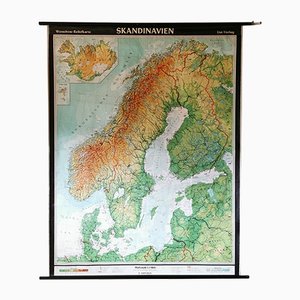
Mid-Century Relief Wall Card of Scandinavia by Wenschow for List Verlag, 1960s
Austrian Educational Charts from Jung, Koch & Quentell, 1960s, Set of 4

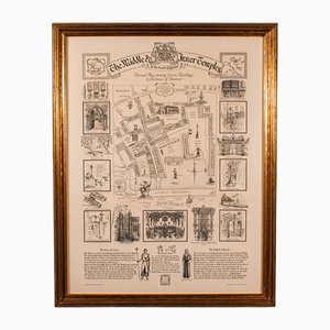
Vintage English Barristers Map of London, 1970s
Trending