Vintage School Poster Larynx, 1940s

You are now following Charts. You can manage alerts in your account settings.
You have unfollowed Charts.
Vintage School Poster Larynx, 1940s

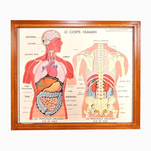
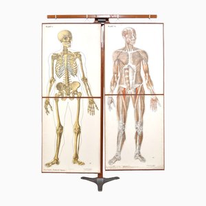
Vintage Double Sided School Posters in Frame of the Human Body, 1950s
Vintage School Chart, 1930s

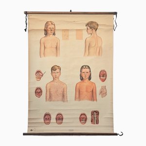
Vintage Training Poster with Childhood Illnesses, 1930-1940
Vintage School Poster, 1930s

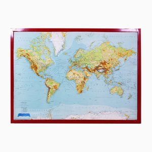
Large Relief Map of the World by George Philip
Colourful Map of the History of London, 1970s

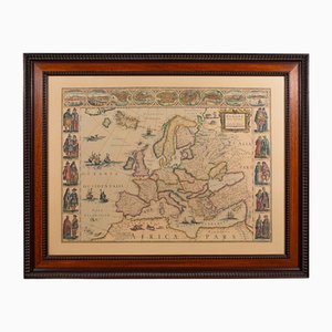
Vintage Reproduction of 17th Century Map of Europe, 1970s
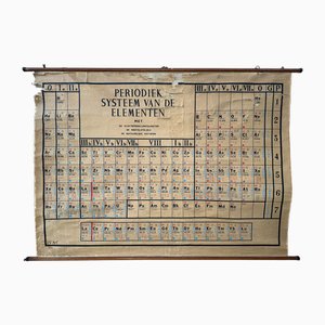
Large Vintage Linen Card Periodic Table of Elements
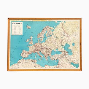
Modern Italian Topographic Geographical Map in Wood Frame of Europe, 1950s-1990s
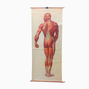
Vintage School Board "Muscle of Man", Germany, 1950s
Vintage Herbarium in Glazed Wooden Frames, Florence, 1941

Vintage School Europe Wall Map by Leisering & Schulze for Velhagen, 1950s

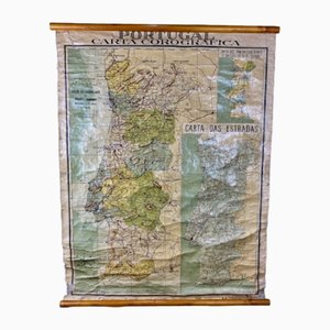
Chorographic Map of Portugal, 1942
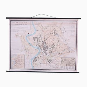
School Wall Map of Old Rome from Instituto Geografico de Agostini Nora, 1950s
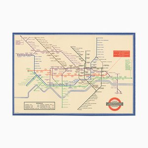
Map of the London Underground, 1930s
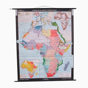
School Wall Map of Africa by Leisering & Schulze for Velhagen & Klasing, 1950s
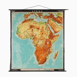
Large Africa School Map, 1950s
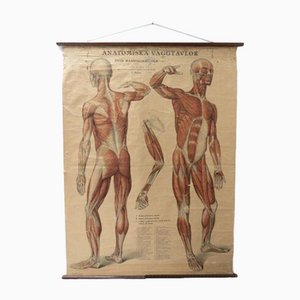
Vintage Swedish Anatomical Medical Wall Hanging
Pictorial Map of South Africa from the Second World War, 1940s

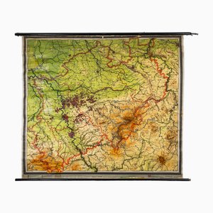
Charts of Physical Maps from North Rhine Westphalia NRW
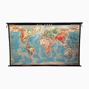
World Pull-Down School Map by Hermann Haack, 1970s
Key Largo Tapestry in Limited Edition by Mathieu Matégot

Anatomical Chart from the German Hygiene Museum, Dresden, Germany, 1950s
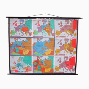
Large School Teaching Map on Contemporary History from Flemming Verlag Hamburg, 1950s
School Wall Map of the Human Body by Prof. Dr. med. W. Blotevogel for Hagemann Düsseldorf, 1950s

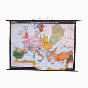
School Wall Map of Europe from Velhagen & Klasing, 1950s
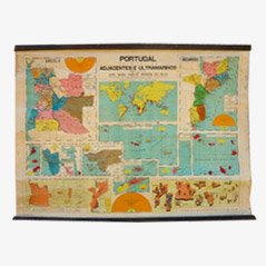
Vintage Portugal School Map, 1940s
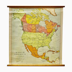
Large University Chart Political Map of North America by Bacon, 1920s
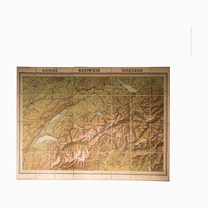
Vintage Geographical Map of Switzerland, 1930s
Vintage Map of the World by John Speed, 1651

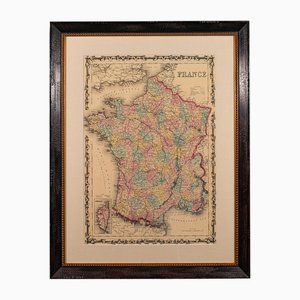
Large Vintage France Map, 1970s
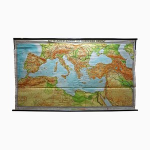
Vintage Mural Map Mediterranean Sea Near East Countries Rollable Wall Chart, 1970s
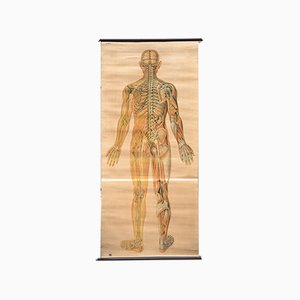
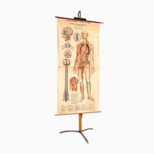
Nervous System Anatomical Wall Chart, Sweden, 1950s
Vintage Linen School Map In the Brazilian Jungle

The Famous Wonderground Map of London, 1920s

Pictorial Map of Beijing by Frank Dorn, 1936

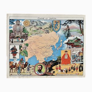
Illustrated Map of China and Japan by Émile-Joseph-Porphyre Pinchon, 1948
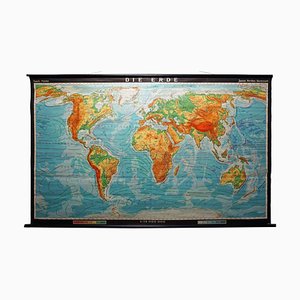
Vintage Mural World Map, 1970s
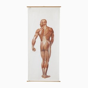
Large Anatomical Wall Chart from Deutsche Hygiene Museum, Dresden, 1992
Vintage Cottagecore Botanic Wall Chart by Jung Koch Quentell

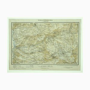
Unknown - Map of Vallombrosa - Florence 1926
School Teaching Map by Prof. Dr. W. Trillmich for Westermann Landkarten, 1950s
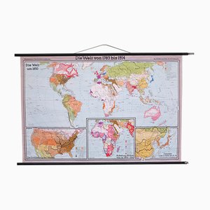
Vintage Linen School Map of Borneo

Vintage Linen School Card
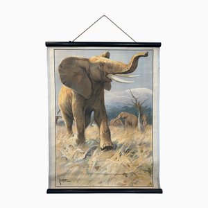
Anatomical Pull-Down Chart of the Human Body, Bones & Ligaments, Germany, 1960
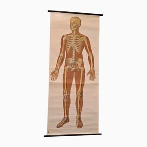
Large Sized Wall Chart, USA, 1980
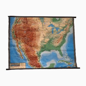
Vintage School Wall Chart, 1950s

Vintage Rollable Map Mediterranean Countries Wall Chart Mural Poster, 1970s
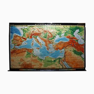
European Wall Chart, 1970s
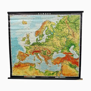
Large University Chart Physical Map of Africa by Bacon, 1920s
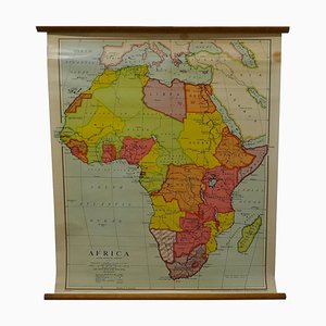
Anatomical Human Muscular Structure Charts by Tanck & Wagelin, 1950, Set of 2
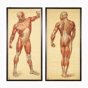
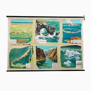
Geological Rollable Wall Chart
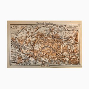
Map of Paris, 1937
Old Vintage Beetles Insects Overview Wall Chart Poster

School Teaching Map of Germany from Flemming Verlag, 1950s
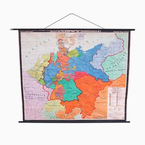
School Wall Map of Europe by Prof. Dr. Schmidt for Perthas Gotha, 1950s
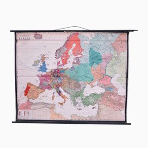
Vintage Linen School Map In Ditch and Pond

Vintage Linen School Map In Ditch and Pond

Vintage Linen School Map On the Edge of the Kalahari

Vintage Linen School Map the Scots Pine

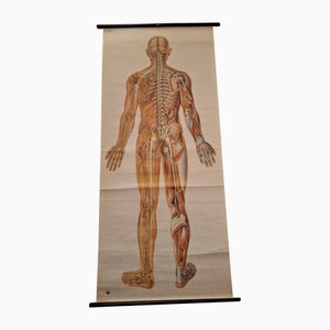
Anatomical Pull-Down Chart of the Human Body, Nervous System , Spine, Muscles & Tendons, Germany, 1960
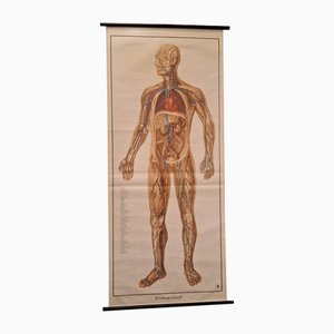
German Pull-Down Chart of the Human Body, Blood Circulation, Germany, 1960
Tourists Map of New Yorks Subway System, 1954

Map of the Oilfields in the Near East, 1955

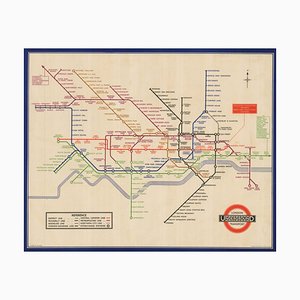
London Transport Underground A Double Crown Poster Map of the Tube by Beck, 1935
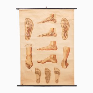
Vintage Pull-Down Medical Wall Chart Illustrating Orthopedics of Foot, 1935
Europe Mural Map, 1970s
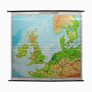
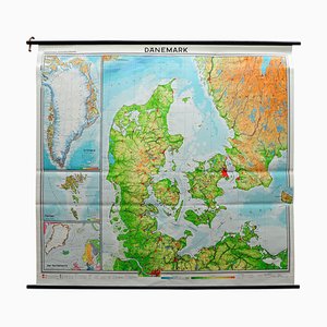
Vintage Mural Map or Wall Chart of North Atlantic, 1970s
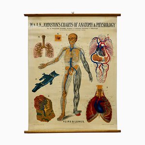
Large University Anatomical Chart Veins and Lungs by Turner, 1920s
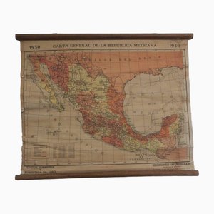
Mexican Republic Map, 1950s
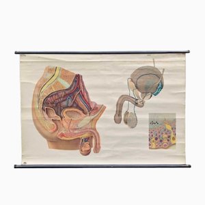
Male Anatomy Poster or Pull-Down Chart, 1950s
Vintage Living in Hong Kong Wall Chart, 1970s

Vintage Mural Wall Chart, 1970
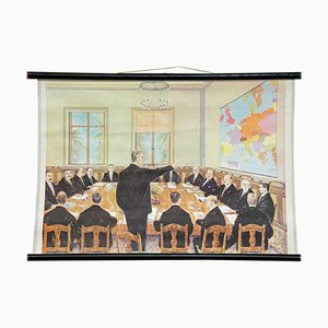
Vintage Political Chart
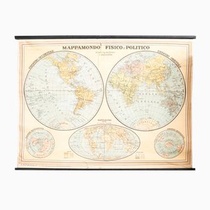
Air France Nova and Vetera Poster Map by Lucien Boucher, Paris, France, 1939

Tapeworm Rollable Wallchart by Jung Koch Quentell

Alberto Moravia, Ticket Map, Letters With Sketches, 1956

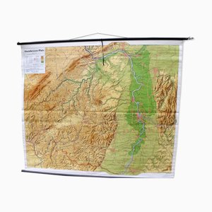
Mid-Century Map of the District of Rhineland-Hesse and Palatinate
School Wall Map of Europe by W. Leisering for Velhagen & Klasing, 1950s
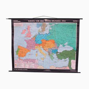
School Wall Map of the Roman Empire by Putzger for Velhagen & Klasing, 1950s
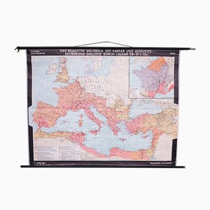
Vintage Linen School Map

Vintage Linen School Map

Vintage Linen School Map In the Dune

Vintage Linen School Map On the Heath
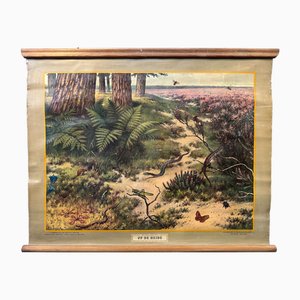
Vintage Linen School Map

Vintage Linen School Map

Vintage School/Teaching Card Latin Source Script from Röhr Verlag, 1940s

Vintage Linen School Card Seals

Post-War Pictorial Wall Map of London

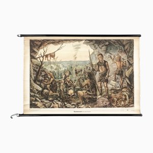
Charts of Maps from Ice Age Man
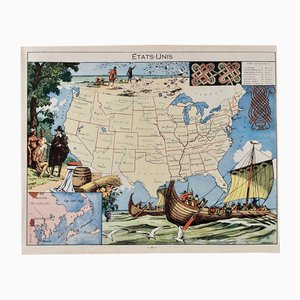
Illustrated Map of the United States by Émile-Joseph-Porphyre Pinchon, 1948
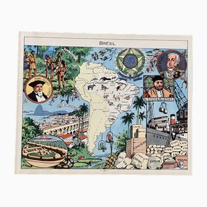
Illustrated Map of Brazil by Émile-Joseph-Porphyre Pinchon, 1948
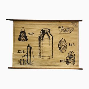
Vintage Educational Board Milk by Georg H. Knickmann, 1940s
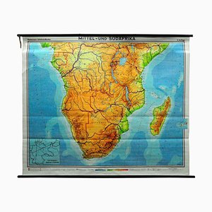
Vintage Map of Central South Africa, 1970s
Human Foldable Anatomical Wall Charts, 1920s, Set of 2
Trending