17th Century Plan of Valletta

You are now following CONTAIN. You can manage alerts in your account settings.
You have unfollowed CONTAIN.
17th Century Plan of Valletta

A 17th Century Engraving of the Zodiac Sign Sagittarius

A 17th Century Engraving of the Zodiac Sign Leo

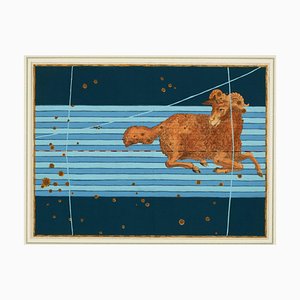
A 17th Century Engraving of the Zodiac Sign Aries
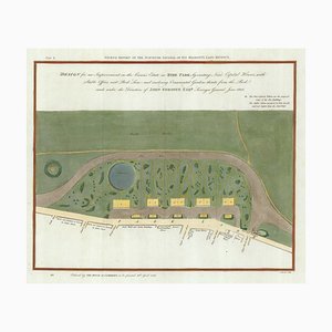
Early 19th Century Map for Houses in Hyde Park by J. Fordyce, 1809
16th Century Miniature Map of Cyprus

Pictorial Map of Wales

Satirical Map of Ireland

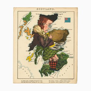
Satirical Map of Scotland
Pictorial Map of Russia

Caricature Map of Italy

Allegorical Map of England

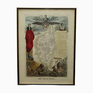
French Hand Watercolour Map of Dept des la Corse, 1856
French Hand Watercolour Map of Dept des Hautes Pyrenees, 1856
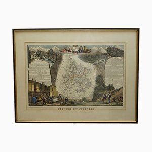
French Hand Watercolour Map of Dept des Hautes Pyrenees, 1856

Opera Cartographic Mirabile Card from North Sea to the Mediterranean and Ethnographic Europe from C. T. I. Milan, Italy, 1939, Set of 3
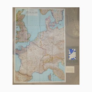
Map of the British Isles with Decorative Borders

Celestial Chart, 1702
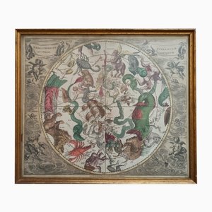
Cartographic Map of the Russian Empire by Frederick De Wit, 17th Century

Map of Scotland Etching by Johannes Blaeu, 1650s
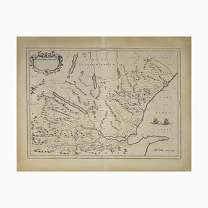
Large Antique Lithography Map of Northamptonshire by John Speed

Geological Map of England and Wales on Six Sheets, Set of 6

Maps of the World & Continents, Set of 7

Vintage South America American Continent Pull Down Map

Hemisphere Of The New Continent - Ancient Map by J.G. Heck - 1834. 1834
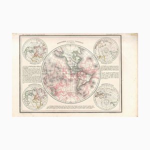
Hemisphere Of The New Continent - Ancient Map by J.G. Heck - 1834. 1834
